

Key Takeaways
A good day in the Sibillini starts with matching your route to the weather, your energy and the time you have.
- Choose between open plateau paths and more demanding mountain routes.
- Check current trail access and conditions before travelling.
- Allow extra time for high ground, rough footing and breaks.
- Start early in summer and carry enough water and sun protection.
- Keep a lower-level alternative in mind if the weather turns.
What to expect on the trails
Monti Sibillini hiking can mean an easy wander across open grassland or a strenuous climb on exposed mountain terrain. Conditions vary with elevation and season, so a route that looks straightforward on a map may take longer than expected. Plan around the day you have, not just the distance.
From flower-filled plateaux to rugged ridgelines
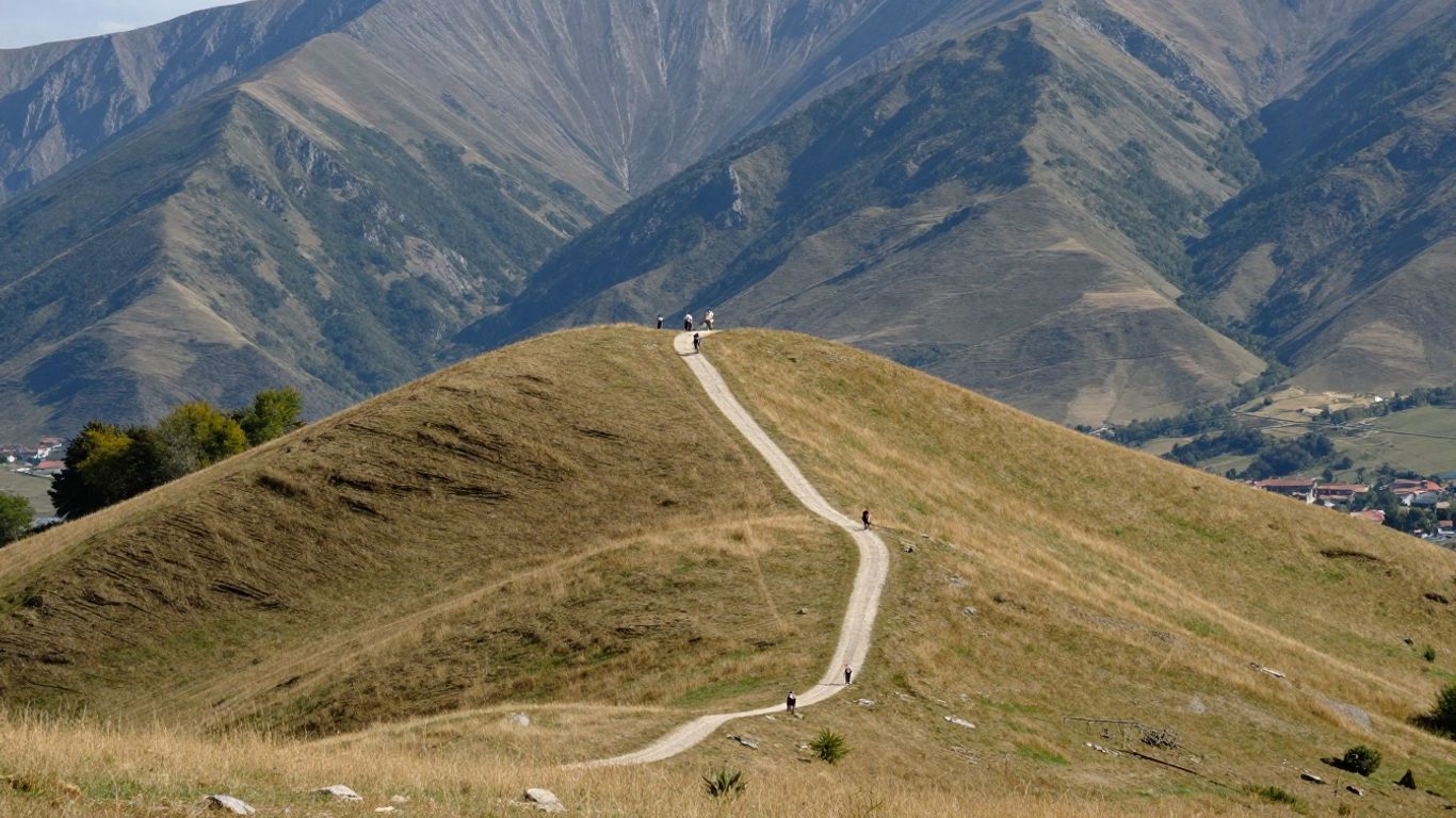
The landscape shifts from broad, open plateaux to steep slopes and rocky ridgelines. Around Castelluccio, the wide views can make walking feel relaxed, while higher routes call for steadier footing and a head for exposed ground. In spring and early summer, flowering fields can add colour, but blooms vary with the season and conditions. Give yourself time to pause and enjoy the changing scenery rather than treating every walk as a summit mission.
Trail markings, maps and route-finding
Markings are useful, but they should not be your only way to navigate. Bring a map or offline route, check that your chosen path is open, and keep track of junctions as you go. The park’s official trail information is a sensible place to begin checking your options; confirm details again close to your visit, as access and local notices can change. On unfamiliar ground, slow down at forks rather than assuming the most obvious track is the right one.
How to judge distance, elevation and difficulty
Distance alone does not tell you how demanding a walk will feel. Elevation gain, steep or uneven surfaces, exposure and the time needed to descend all matter, particularly if you are walking with a group. Use the figures below as a planning prompt, not a substitute for a current route description.
| Route feature | What it can mean for your day |
|---|---|
| Short distance | Still tiring if the path is steep or rough |
| Large ascent | More effort and slower progress |
| Exposed ground | Greater need to check wind and weather |
| Remote route | More time needed for navigation and contingency |
A modest-looking route can be a full outing when you add pauses, navigation and the return journey. Be realistic about your group’s pace and turn around with enough daylight to get back comfortably.
Choose a route to suit your plans
The right walk depends on how much time you have, how confident you feel on mountain paths and whether you want a gentle day or a bigger challenge. Castelluccio offers a different kind of outing from a high route towards Monte Vettore. For more ideas that combine walks with nearby stops, browse these Sibillini day-trip ideas and shape the day around your own pace.
Gentle walks around the Castelluccio plateau
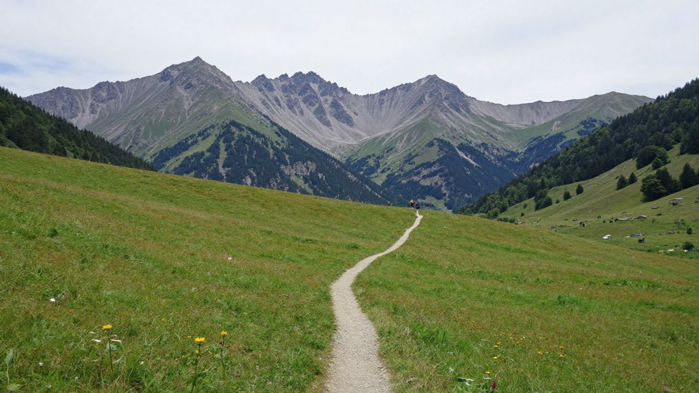
The plateau is a natural choice when you want open views without committing to a high summit. Choose a short out-and-back or a walk on gentler ground, and leave room for stops to take in the broad landscape. A simple plan might include:
- Checking the day’s access and parking notices.
- Choosing a walk that leaves time for a relaxed pause.
- Carrying a map, even on open terrain.
Keep to permitted paths and avoid assuming that every track across the plateau is open to walkers. A flexible plan makes it easier to adjust if conditions or access differ from what you expected.
Longer hikes towards Lago di Pilato
A hike towards Lago di Pilato is a more serious mountain outing than a casual plateau stroll. Allow ample time, prepare for sustained ascent and check current route information before setting off. The terrain and conditions can change with the season, so do not rely on a summer account to judge a spring walk. If the forecast is unsettled or the route feels beyond your experience, choose a lower walk and save the longer objective for another day.
High-mountain routes on Monte Vettore
Monte Vettore routes are best approached with sound fitness, suitable equipment and careful attention to the forecast. The higher you go, the more exposed you may be to wind and rapidly changing weather; a clear start is no guarantee of a clear summit. Check the route details and any access restrictions, then set a firm turnaround time. Reaching the top is optional; getting down safely is part of the plan.
Pick the right time of year
The best season depends on the kind of walk you want and your comfort with changing mountain conditions. Spring can bring lingering snow at altitude, while summer often calls for an early start and close attention to heat or storms. Autumn offers a quieter feel, but shorter days leave less margin for delays.
Spring conditions and lingering snow
Lower paths may be pleasant while higher ground still holds snow or feels wintry. Check recent conditions rather than relying on a calendar date, and do not attempt snowy or icy terrain without the right experience and equipment. Spring flowers also vary from year to year, so treat them as a seasonal bonus, not a guarantee. If you are unsure, choose a lower route with an easy way back.
Summer heat, storms and busy trailheads
Summer can offer long daylight hours, but exposed paths may become hot and afternoon storms can affect mountain plans. Set out early, carry enough water and check the forecast again before you leave. These seasonal differences are useful to compare when deciding how much to take on:
| Season | Planning consideration |
|---|---|
| Spring | Check for snow or muddy ground at higher elevations |
| Summer | Start early and watch for heat or storms |
| Autumn | Plan around cooler weather and shorter daylight |
Use the conditions, rather than the season alone, to decide whether a high route makes sense. If storms are forecast, keep to a lower walk or change plans altogether.
Autumn colours and shorter daylight hours
Autumn brings softer light and changing colours, but the day closes earlier and temperatures can drop quickly. Start with enough time to finish in daylight, and pack a warm layer even if the morning feels mild. Check the forecast for the whole outing, including the time you expect to return. A shorter route can be a better way to enjoy the season without rushing the walk back.
Plan your stay and getting around
The park covers a wide area, so choose a base with your intended trailheads and other plans in mind. Driving times depend on your starting point, road conditions and the route you choose; check them for your dates rather than relying on a rough estimate. Build in room for mountain roads, parking and a slower pace between stops.
Choosing a base near the park
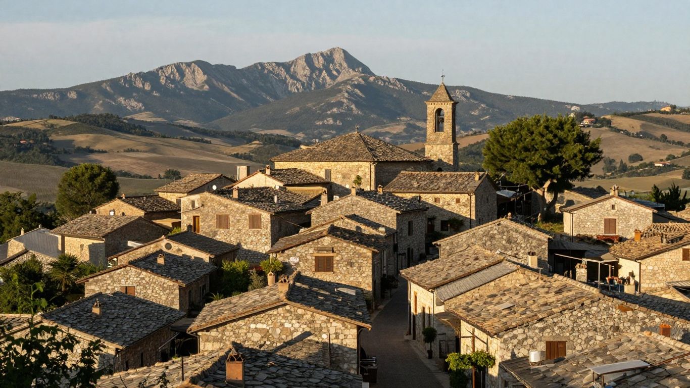
If you want to pair hiking with time in the wider Marche, consider where you would like to spend the rest of your trip as well as where you will walk. Sileni Hills is a 21-apartment retreat in Petriolo, scheduled to open in June 2027 and positioned as a base for exploring the Marche. Check its opening and booking details for your intended dates before making plans.
Reaching trailheads by car or public transport
A car can make it easier to reach trailheads spread across the park, but narrow or busy roads and limited parking can add time. Public transport options may vary by place and season, so check current timetables and the last return journey before depending on them. If you are staying at Sileni Hills, plan the trip to your chosen trailhead for your travel dates rather than assuming a fixed journey time.
Checking access, parking and local notices
Trail access, parking arrangements and local rules can change, so verify them shortly before you go. Check for road restrictions, closures and any guidance about protecting sensitive areas; do not park in a way that blocks access for residents or emergency services. Before leaving Sileni Hills for a walk, confirm your route and parking plan, then keep an alternative nearby in case the first choice is unavailable.
Stay safe in the mountains
A safer day begins with a route that suits the least experienced person in your group and the conditions you actually find. Mountain weather can change, and even familiar paths require attention when visibility or footing worsens. Prepare to adjust your plan rather than treating the original destination as fixed.
Checking forecasts and changing conditions
Check a mountain-specific forecast before setting out and look at it again on the day. Pay attention to wind, rain, storms and temperature, especially on exposed ground. Conditions may feel very different from those in a nearby town. If the forecast or what you see on the trail makes the route feel unsafe, turn back or choose a lower walk.
Carrying navigation and sharing your route
Take a paper map or a reliable offline map, and make sure you know how to use it before you lose signal. Tell someone where you are going and when you expect to return, then update them if your plan changes. A charged phone is useful, but it should support your navigation rather than replace it. Keep the route information accessible, not buried in a bag.
Knowing when to turn back or choose a lower trail
Set a turnaround time before you begin, and stick to it if progress is slower than expected. Turn back if visibility drops, the path becomes more difficult than you can manage or someone in the group is tiring. Choosing a lower route is sound judgement, not a failed day out. You can return for a bigger objective when the conditions and your preparation are better.
Pack for a comfortable day hike
A useful pack is built around the route and forecast, not a one-size-fits-all checklist. Even a gentle walk can feel uncomfortable without water, sun protection or a layer for a change in weather. Keep essentials easy to reach and avoid carrying more than you can manage over uneven ground.
Footwear and layers for variable weather
Wear footwear that suits the surface and is comfortable over the whole distance. For rough or steep paths, choose shoes or boots with grip and support that you have already worn in. A light waterproof layer and an extra warm layer are sensible in the mountains, where wind or cloud can make the temperature feel different from the valley.
Water, food and sun protection
Carry enough water for your planned walk and bring food that is easy to eat along the way. On exposed plateau paths, sun protection matters even when the air feels cool, so pack a hat, sunglasses and sunscreen. Take a little extra if your route is remote or you may be out longer than planned. Do not count on finding supplies beside the trail.
Maps, a charged phone and emergency essentials
Keep your route map available offline and start with a charged phone; a small power bank adds useful backup. Pack a basic first-aid kit and any personal medication you may need. Let someone know your route and expected return, and know the local emergency number before you set off. These simple preparations leave you freer to focus on the walk.
Conclusion
The Sibillini reward a day planned to fit the ground and the weather, whether that means a gentle stroll across open plateau or a longer mountain route. Check current trail and access information, carry what you need and leave space in your schedule to change plans. If you are travelling around the Marche, think about how a walk fits with your wider stay rather than trying to do everything in one day. A thoughtful pace makes the landscape easier to enjoy—and gives you good reason to return.
Frequently Asked Questions
When is the best time for Monti Sibillini hiking?
Late spring to autumn can suit different kinds of walks, but conditions vary each year and by elevation. Check for lingering snow in spring, heat or storms in summer, and shorter daylight in autumn. Choose your route based on the current forecast and trail conditions, not the season alone.
Are there easy walks in the Sibillini?
Yes, lower and plateau routes can offer gentler options than high mountain outings. Their difficulty still depends on distance, surface and conditions, so read the route details before setting off. Pick a walk that suits the least experienced member of your group and allows time for breaks.
Can you hike to Lago di Pilato?
Routes towards Lago di Pilato are mountain hikes that require careful planning, suitable fitness and attention to conditions. Check current access and route information before travelling, and do not assume the path is suitable in every season. If weather or footing is poor, choose a lower alternative.
Do I need a car to reach the trails?
A car can make it easier to reach trailheads in this wide mountain area, but public transport may work for some plans. Check current services, timetables and return options for your dates. Whichever way you travel, allow time for the journey and confirm parking or access arrangements before leaving.
What should I pack for a day hike?
Bring suitable footwear, layers, water, food, sun protection, navigation and a charged phone. Add personal medication and a basic first-aid kit, and tailor your kit to the route and forecast. For exposed or remote walks, plan for delays and carry essentials where you can reach them easily.
Is Monte Vettore suitable for beginners?
High-mountain routes on Monte Vettore can be demanding and exposed, so they may not suit beginners or anyone unsure of their fitness and footing. Read a current route description and check conditions before deciding. A lower walk is a sensible choice if you lack experience or the forecast is unsettled.
How can I check whether a trail is open?
Look for current information from the park authority and local notices before setting off. Check again close to your visit, as closures, road access and parking arrangements can change. If details are unclear, choose a route with confirmed access rather than relying on an old map or an informal account.